Suffern-Bear Mountain Trail
- Brothers Welch
- May 9, 2021
- 10 min read
Updated: May 10, 2021
I had been wanting to do the 23 mile, yellow blazed Suffern-Bear Mountain Trail in Harriman since it first came on my radar after the Long Trail. One thing led to another and then COVID happened so my timing was very delayed.
Fully vaccinated and for my birthday weekend, I set off to complete the twenty-three mile trail!

This hike was also a test run of quite a few things. For one, I purchased a bear cannister. Previously I had bear bagged, but decided that I should switch over. My rationale for the switch is grounded partially in loathing the camp chore of bear bagging and an awareness of environmental impact and reading more and more about the ineffectiveness of hangs.
Along with this gear test, which was more of weight/packing test, I was also testing out my leg. I’ve been on the mend from a fairly serious hip injury so this outing was a field test of my hip before J-Dub and I set off on a summer thru-hike.
Oh, and to add to the fun, I’m waiting for a repair part on my tent, so I did this trip with my back-up tent. A hefty, two-person Eureka that I keep around mainly for music festivals and car camping with friends. The weight and bulkiness of it definitely gave my pack more of thru-hike size and feel, so in terms of a realistic field test it certainly helped. Also, I’d be lying if I didn’t say it felt pretty luxurious set up at my camp spots to be rolling around in all that room!
I set off from Penn Station early Friday morning and took New Jersey Transit out to Suffern Station. A scenic train ride that only cost me $14.00 and took me about three hours (from my apartment door to Suffern), though the ride itself from Secaucus Junction is only a little over an hour.
I left on Friday and decided to make it a three day trip for a few reasons:
1. I wanted to take it slow and give myself time with my hip.
2. I wanted to take it slow and really enjoy it since I haven’t been backpacking since COVID began.
3. Harrmin has a reputation for getting crowded, so I wanted to get a jump on weekend hype
4. I planned to meet friends Sunday at Bear Mountain to celebrate and catch a ride to the Peekskill Metro-North Station
At Suffern I swung in for a cup of coffee then walked through the town, along the road, to the trail head. It’s fairly easy to navigate via the “Southern Harriman Bear Mountain Trails” map the New York-New Jersey Trail Conference puts out or using Google Maps. As I got closer, I also noticed yellow blazes on the road guiding my way. They might start sooner, but I hadn’t had my coffee yet, so can’t say for sure.

At the trail head there’s some beautiful brick-work and a sign to mark the terminus and then, like most any trail, it’s an up from the road.

The up is a bit steep, but certainly doesn’t leave you unrewarded! There’s a lovely little view back toward Suffern from the top.
On this very first climb I bumped into a day hiker who was pretty excited to see me out on this trail. My experience with folks who do any solo day hikes in Harriman is that they’re usually people for whom the park is a backyard, knowledgeable and really staunch advocates and cheerleaders for it. We talked for a bit before he let me pass ahead, leaving me with a bit of wisdom, “I always make sure to look down for snakes and up for bears!” He said with a little laugh. The tip was certainly helpful. While I didn’t see any bear, I saw plenty of snakes in some of the rocky parts of the day.

And today had a lot of rocks! Not scrambles necessarily, but rock fields like the "Valley of Dry Bones," big boulders with names, some without. The hike after that first steep up was really, pretty iconic Harriman hiking: some rolling ups and downs through forests and small, rocky ridges. It was lovely in early spring where the trees still offered good visibility, but there were bits of green and flower blossoms all around.


I rolled in for lunch at Stone Memorial Shelter. The shelter itself is nothing fancy unlike some of the Harriman stays, but there’s a great water source and some nice tent spots around it.

I took a long lunch, testing out my hip and weighing whether to press on or not. I felt good and it was still really too early in the day to stop, so I pressed on. Before leaving though, I met up with another person hiking the trail with their dog Cali. It always puts me in good spirits to have a dog on the trail and the two (well, three I suppose) of us would kind of yo-yo each other on the way to Big Hill Shelter
The trail was really quite similar to before for much of the hike to Big Hill Shelter, there were a few more steep ups than before, like summiting Panther Mountain, but on the whole it was really pleasant. Along the way, a quick, Spring cloud burst cooled down the afternoon heat making it perfect hiking weather.

Reaching the Third Reservoir I started my last steep ascent up Big Hill to Big Hill shelter. This was right around golden hour and the hike up with the reservoir behind me was really quite gorgeous, the tree line made it hard to get a good picture and my phone couldn’t really capture the nuances of color, but suffice to say, if you can time it out I highly recommend it.
At the top of the climb I bumped into Cali and her owner and the three of us got a little turned around. The whole Suffern-Bear Mountain Trail is really well blazed, but Harriman has so many different trails and forest roads running through it that if you’re not being diligent it’s very easy to get a bit twisted. I never got totally lost or side-tracked for long, but like this moment, there were definitely a few times where I had to stop and asking myself, “Wait, I’m on my trail right?”
With the directions sorted out, we made short work of the ridge walk to Big Hill Shelter.
Big Hill is a beautiful shelter with built in fire places overlooking a hillside and some really ideal tent spots with equally beautiful views.

We were the first ones in so we had our pick of sites and I set myself up at a spot near the shelter. As the night went on more and more people started filing in with the weekend in full swing. This shelter is also the first Harriman shelter on the Long Path and is fairly accessible via a parking lot, so it made sense that Friday night here would be a bit hype.
The night also had a wind advisory and being on the top of a, well, big hill, had us buffeted all night! The Eureka held its own though and I was able to get a morning start out from the shelter with a beautiful sunrise.

One thing to note, is that Big Hill has no water. You have to carry up and this is true of a lot of Harriman shelters which are up on ridges.
The closest water is a short walk NOBO (so my direction) on the Suffern-Bear Mountain trail and is a lovely little stream that was flowing great in April and I imagine is quite reliable year round as it’s marked on the map.

I stopped at the stream for breakfast then carried on along the trail up Jackie Jones Mountain and the Jackie Jones Fire Tower. The wind advisory was still in effect, so I decided to take a pass on the fire tower and marked it as a place to come back to as I imagine it has a really lovely view of Lake Welch.

The trail here is pretty tame and in fact involves some forest road walking past the ORAK Ruin then across a road and up Irish Mountain to the Irish Potato, which isn’t too bad of an up.
There are a lot of rock and rock formations marked on the map for this trail and, honestly, at first some of them were hard for me to guess. But the Irish potato is undoubtedly the potato! It’s the only boulder of size here and it’s at the summit. A funny little, (relatively) geologic feature.

Then down Irish Mountain, which was really a steep down. I gave my legs and hip a quick break at the bottom and filtered some water.
Next, I had to cross the Palisades Parkway, which, on sunny, Saturday morning was a particularly difficult interstate crossing.

Having made it across I began my ascent up Pingyp Mountain.
I had read and heard that Pingyp would be my hardest climb of the trail heard some people compare it to Breakneck Ridge, but none of that really phased me until I actually started climbing. Let me tell you, it is undoubtedly, the hardest climb of this hike both physically and psychologically and it caught me a little off guard in comparison to the rest of the trail. It is supposedly the steepest climb in Harriman, but I haven't been able to find a good source to verify. After climbing it though, I would certainly believe it.
Pingyp is a serious, technical scramble, AllTrails rates it as having class 2 and 3 scrambles. Harriman has some scrambley, technical hikes (especially overlooking the Hudson) to be sure, but having done many of those, what separates Pingyp for me is the narrowness of it. If you’re going to do it come prepared to work, especially if you're carrying a weekend pack.
Once at the top, I took a break and let a lot of day hikers pass by. Pignyp is also a pretty popular day hike and hiking tour spot which adds a bit to the intensity because, like I mentioned, it’s narrow so there really isn’t a ton of waiting or passing room.
The work of getting up Pignyp is certainly rewarded. Not only are there lovely views right away (and on the way up), but the walk for the next little bit offers some uninterrupted vistas.

After Pignyp the trail returns to it’s rolling nature, but there was a bit of added intensity. The trail hits more scrambles and rocky ups, none of them like Pignyp in terms of scale or adrenaline, but it’s just a lot more of a full body hike than the first half (so to speak) of the trail.

My goal for the day was West Mountain shelter. It’s technically a few steps off trail, but I wanted to check out the famous view and I needed a good spot to roll into Bear Mountain tomorrow to meet my friends.
My last big task before getting to West Mountain though was the Cat’s Elbow. As I was prepping for the trail and read that title on the map, I knew without needing to look it up that it was going to be some rocky, wild thing. Really anytime I encounter a ridiculous name on a map or guide I assume it’ll be a rocky adventure.
As I was breaking before it a day hiking couple came by with their dog. Like the man I met back at Suffern, these two were delighted to see me going end to end on the Suffern-Bear Mountain and the man gave me a quick tip about the Cat’s Elbow, suggesting I take off and hoist my pack over the ledge. Fun!

The Cat’s Elbow is similar to the Lemon Squeezer, a narrow passage between rocks. What makes the Cat’s Elbow a bit different is that it’s a narrow gap up a steep incline with now way around. The day-hikers tip ended up paying off though and I did exactly as he suggested (Harriman hikers, man) after trying to climb with it on and getting myself pretty stuck. This was some tough work for me and my hip by the end of the day and I was pretty happy to reach West Mountain Shelter.

West Mountain Shelter has an incredible view looking down on the Hudson. People joke that it’s the Penthouse of the park. Unlike a private penthouse though, it’s very crowded! It’s close to a parking lot (though I later learned the lot is closed as COVID testing site) and a lot of popular trails, including a short hike from the AT.

No water at West Mountain Shelter either, so make sure to carry up from whatever trail you're on.
I got in pretty early and even then a lot of the prime tent sites were taken and more people just kept pouring in. I considered backtracking to a spot I had noticed on my way in or pressing on, but I was pretty beat from all the rock work and decided to snoop around and also see what the WhiteBlaze forums had to say since this is close to the AT. My detective work paid off and I found a secluded spot with it’s own view!

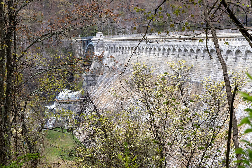
Sunday morning I woke up and made my way down to Hessian Lake and the Bear Mountain Inn. The walk was pretty and bucolic, similar to the start at Suffern, with a beautiful stream walk and later a pretty easy service road walk. My phone battery died, so I missed a cool moment where a break in the canopy along the road gives a beautiful view of Hessian Lake, effectively the terminus, a mile or two out. You’ll have to just go check it out for yourself!
Bear Mountain was crowded! Which, probably isn’t a surprise for any New York City or Hudson Valley hiker reading this. A sunny, Sunday morning in Spring turns the place into Disney Land. I found a spot to charge my phone so I could snag a photo of the trail end and text my friends for pick-up.

Initially we were going to hang out around Bear Mountain, but decided that instead we’d head back to their place for some pizza (as is the Brothers Welch tradition) on their back porch before they dropped me at the train and I made my way back to NYC.
On the whole, the Suffern-Bear Mountain Trail didn’t disappoint! It was a beautiful way to see some deeper parts of Harriman and was a fun little sampler of an East Coast thru-hike, it has a little bit of everything you might expect on a longer trek. Some people beast it out in a day, but the shelters and camping along the way are so nice that I suggest going slowly, but, hike your own hike! I highly recommend the trail for hikers experienced with scrambles, so much so that I’m considering re-doing it in the Fall.

As a note, for navigation I used the New York-New Jersey Trail Conference's Southern and Northern Harriman Bear Mountain Trails maps and a compass. I’m sure there are some online or app options, but you’ll have to do your own research there.
-Babysteps


Comments