Appalachian Trail: NOC to Wayah Bald
- Brothers Welch
- Jul 3, 2018
- 4 min read
Updated: Jul 18, 2020
This summer J-Dub and I set out on a 17.2 mile hike* in the Nantahala National Forest, going from the Nantahala Outdoor Center, or NOC, to the Summit of Wayah Bald.
We drove up to the NOC the morning of our first day out and parked in the “basecamp” parking lot. Not only was this a convenient spot, right in the heart of the outdoor center, but it didn’t have any parking or overnight fees!
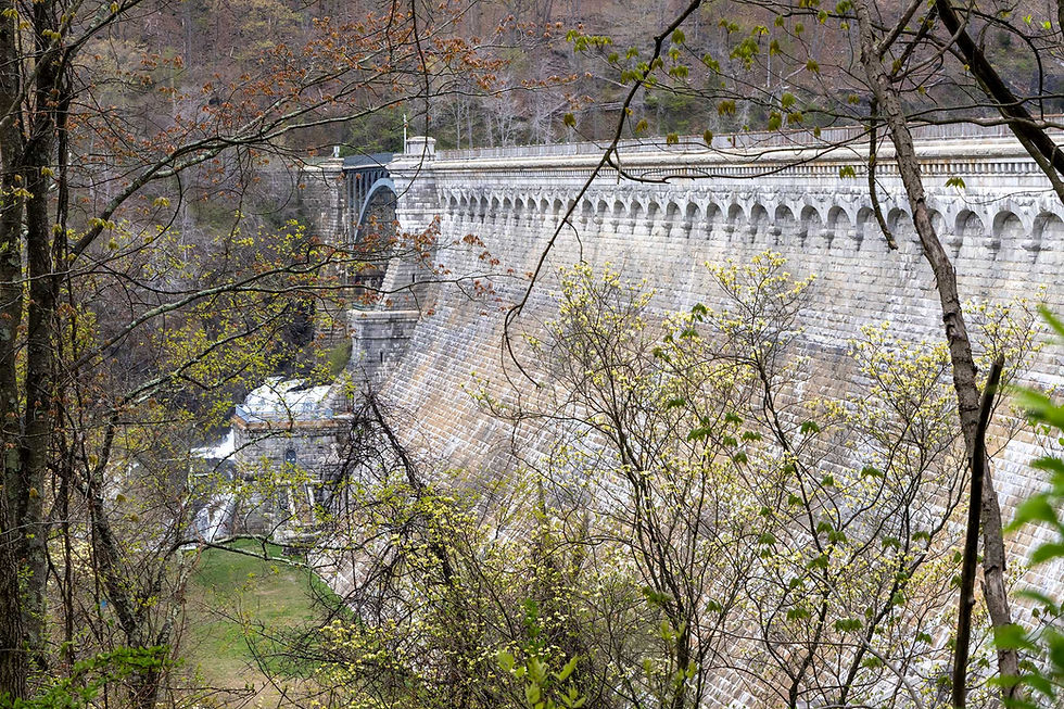
By the time we parked and got ourselves set, the midday heat had set in. It was a slow and sweaty 5.7 miles from the Nantahala Outdoor Center to the Wesser Bald shelter. At Wesser Bald shelter we got the scoop from Weatherman (hiking with his son Rocko and two dogs) that the storm window for these mountains is between 2:00pm and 5:00pm. Given that he is an NOAA meteorologist, we took his word for it and picked back up around 5:00pm to climb up to the Wesser Bald fire tower. Debated staying, but pushed on to a nice little camping spot right off trail after stopping to admire the panoramic views the Wesser fire tower offers.


Woke up early and made good time getting down into Telico Gap. Met a shuttle driver named Ron in the Telico Gap parking lot who gave us a recommendation for a shuttle driver in the Wayah Bald area named Beverly. Shuttle drivers were a big part of the trail talk on this hike. Over the course of our hike we were regularly given recommendations and numbers of shuttle drivers from other hikers we encountered.The past few sections we’ve done have put us in thru-hiking bubbles, but being around a lot of section hikers meant that we were around people who needed rides back to their parked cars or public transit.
After meeting Ron, we began heading back up Telico Gap. We stopped for water in a campsite about halfway up then continued onto Cold Spring campgrounds. Along the way to Cold Spring we made a quick stop at the summit of Rocky Bald for the beautiful vista at the summit and chatted with some trail crews who were maintaining the area.
Cold Spring shelter was a small, older shelter. There was already a group of three hikers staying in it and they were waiting on a fourth. However, the shelter and the aptly named water source were right on trail which was nice. This was a trend I noticed about all the shelters, campgrounds, and water we encountered in this section, they were all right along the trail and didn’t have long access or side trails to them.
We ended up stopping for the day at the Cold Spring campsite a short walk from the shelter itself. The site had lovely views along a cliff face only a few feet away from the tenting sites. I spent all day admiring it, but especially loved the sunset. We also made time to call Beverly, recommended to us by Ron in Telico Gap, and schedule our pick-up on Wayah Bald.


Early start again out of Cold Spring camp. Made quick work of the 5 miles into Wayah Bald shelter. We stopped for the day, intending to catch the sunrise on top of Wayah Bald before our morning shuttle out. With time to kill, we tidied up the shelter with some brooms that were provided. A party of three came through the site in mid-afternoon and joined us in the shelter. They were a fun crew, two older gentlemen hiking from Springer through the Smokies and the daughter of one joining the pair for the Smokies.
A little later in the afternoon rain came and brought a chill with it, but also the relaxing sound of rain on a tin roof. Around sunset, two hikers came running through the rain! We had to shift our sleeping arrangements around so that all seven of us could fit into the shelter and stay dry.


5:30am wake up. About 1 mile uphill to the summit and fire tower of Wayah Bald. Made it with two minutes to spare! Amazing sunrise. Clouds filling the valley, red, hazy light marking the path of the sun. The mountains all around coming slowly into focus as cloud cover burnt off.

Beverly met us promptly at 8:30am and had a full shuttle and schedule. We got a small taste of what this business looked like, Beverly had her car set up with a Bluetooth so that she could seamlessly take new pick-ups while driving her current customers. On the day she was shuttling us she had another two, and not just in the area, but calls that would take her as far as Davenport and Fontana Dam in the same day.
Ended the trip with pizza and wings at the NOC, watching people white water down the Nantahala River from a shaded patio and enjoying the festivities before heading down the mountains back home.
-Babysteps (words) & J-Dub (Photos)
*distance measured using the ATC map Nantahala National Forest Bly Gap to Fontana Dam 2008 edition and cross referenced with AT Distance Calculator [http://www.atdist.com/atdist]


Comments